Digital evidence
How Accurate Is Life360?
Family locator data ends up in court more often than people realize. It’s frequently useful and it isn’t self-explaining — the same app can put somebody within three meters or within four hundred, and the record looks the same either way.
- Best case
- GPS, open sky, 3–5 meters
- Wi-Fi assisted
- Improves an urban fix substantially
- Cell towers only
- 100–500 meters
- Shown as
- A point, regardless of confidence
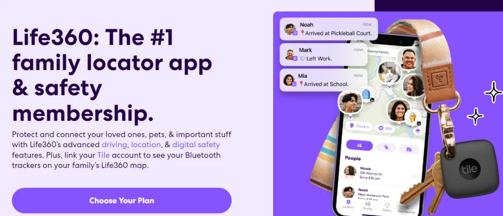
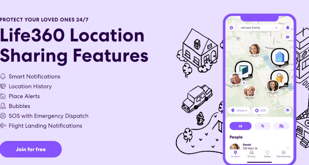
Life360 is a family locator. It shares live locations on a private map, sends alerts when someone enters or leaves a defined place, reports on driving behavior, and carries an SOS function. Tens of millions of households run it, which is why its records keep appearing in litigation.
Where the position comes from
The app doesn’t have one way of finding you. It has three, and it uses whichever is available. This is the thing that matters most to understand about the data.
| Source | Typical accuracy | When it is used |
|---|---|---|
| GPS | 3–10 meters | Outdoors with a clear view of the sky |
| Wi-Fi positioning | 10–50 meters | Indoors and in cities, matching nearby networks against a database |
| Cell tower triangulation | 100–500 meters, worse rurally | Fallback when the other two are unavailable |
A log entry doesn’t usually announce which one produced it. Two consecutive points can come from two different systems with an order of magnitude between their error, and both appear on the map as a dot.
What degrades it
Buildings. In a dense downtown, signals bounce off facades before reaching the phone, which arrives late and puts the fix in the wrong place. This is multipath error and it’s the reason urban positions can be confidently wrong by a block.
Cover. Heavy tree canopy, tunnels, parking structures, metal roofs. Indoors the phone is usually on Wi-Fi positioning, which is fine in a city with many mapped networks and poor where there are few.
Weather. Heavy rain and snow attenuate the signal, and accumulated snow or ice over an antenna degrades it further. A record from a snowstorm deserves more scrutiny than one from a clear day. Darkness, for the avoidance of doubt, has no effect at all.
Rural areas. Fewer obstructions means better GPS, but sparse towers and few mapped Wi-Fi networks mean that when GPS fails the fallback is much worse than it would be in a city.
Battery and settings. Power saving reduces how often the phone updates. Battery optimization can suspend the app entirely. High-accuracy mode turned off restricts it to a weaker method. A phone that dies stops reporting, and a gap in a log isn’t evidence of anything.
Bubbles and drift
The app draws a circle of uncertainty around a position — the bubble. The person is somewhere in that circle, and its size reflects how confident the fix was. A large bubble is the app telling you it doesn’t really know.
Drift is the related artifact: a stationary phone whose position appears to move. Nobody went anywhere. The device switched between GPS, Wi-Fi and cell positioning, or signal quality changed, and the calculated point moved with it. Drift is routine, and reading it as movement is one of the more common misreadings of this data.
Wi-Fi off while driving
People switch Wi-Fi off in the car and it degrades the record more than they expect.
Without Wi-Fi positioning to correct it, the phone leans on GPS alone, which is good in the open and unreliable among tall buildings, in tunnels and under dense cover. When GPS drops it falls back to towers, which is the 100 to 500 meter tier. And GPS running continuously without assistance drains the battery faster, which can push the phone into a power-saving state that reduces update frequency — so you get fewer points as well as worse ones.
The practical result is a sparser log, larger bubbles, and driving reports whose start and stop points are approximate. In a case that turns on where somebody was at a particular minute, that’s the difference between the record proving something and not.
Using it as evidence
The data is admissible and it’s challengeable, and both are true at once. If you’re relying on it, or attacking it, these are the questions:
- Which source produced the fix? Records obtained from Life360 directly carry more detail than the consumer app displays, including accuracy values. Ask for the full export, not a screenshot
- How large was the bubble? A fix accurate to 300 meters can’t establish which building someone was in
- What were the conditions? Weather, terrain and urban density at that time and place
- What was the phone doing? Battery level, power saving, whether Wi-Fi and high-accuracy mode were on
- Are there gaps? And is the gap a dead battery, a suspended app, or an absence of signal
- Does anything corroborate it? Card transactions, cameras, tower records from the carrier, witnesses, another device
Location data is strongest as corroboration and weakest on its own. A single point placing someone somewhere is an argument. That point plus a card transaction plus a camera is a finding.
Expect to need an expert if it’s genuinely contested. Explaining multipath error and confidence intervals to a jury isn’t something a report can do by itself, and the other side will have someone ready to explain why the dot on the map isn’t what it appears to be.
The balance of it
Life360 does what it says. Families use it and get real value from it. The privacy trade-off is genuine and so is the battery cost, and both are the user’s call.
What it isn’t is a precise historical record of where a person was. It’s a series of estimates of varying quality, presented with a uniform confidence the underlying data does not support. Understanding that’s what separates using it well from over-reading it.
Course
Social Media Investigation
Finding, verifying and documenting what a subject has posted — including the material they thought they had deleted.
See the course